
Hiking at Geierlay in the Hunsrück
Circular paths, dream loops, and E-bike tours around Mörsdorf
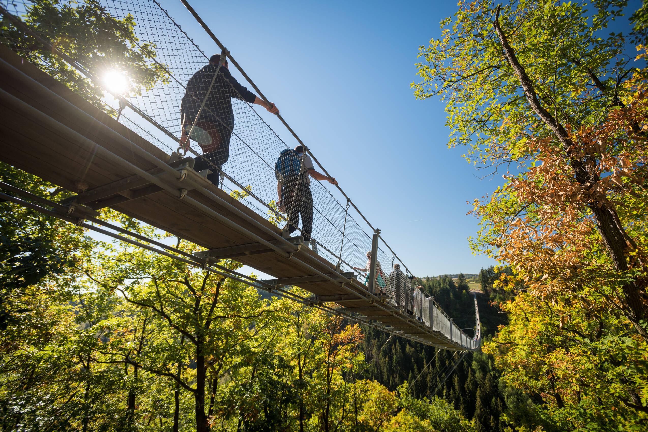
carticleecpeThe surroundings of the Geierlay suspension bridge in the Hunsrück offer well-marked hiking trails through forests and open landscapes. The Geierlay circular route is particularly popular, combining nature experiences and bridge crossings – ideal for day trips and hiking enthusiasts.c/pecpeca class=button href=#162883eTo the routesc/aec/pec/articlee

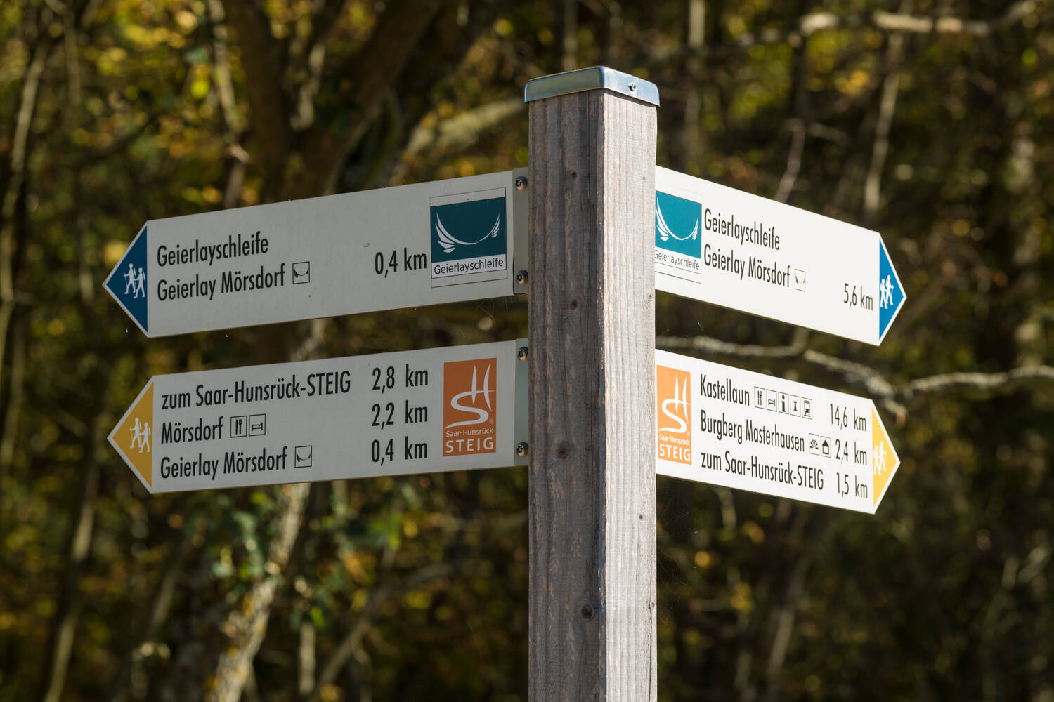

Circular Routes
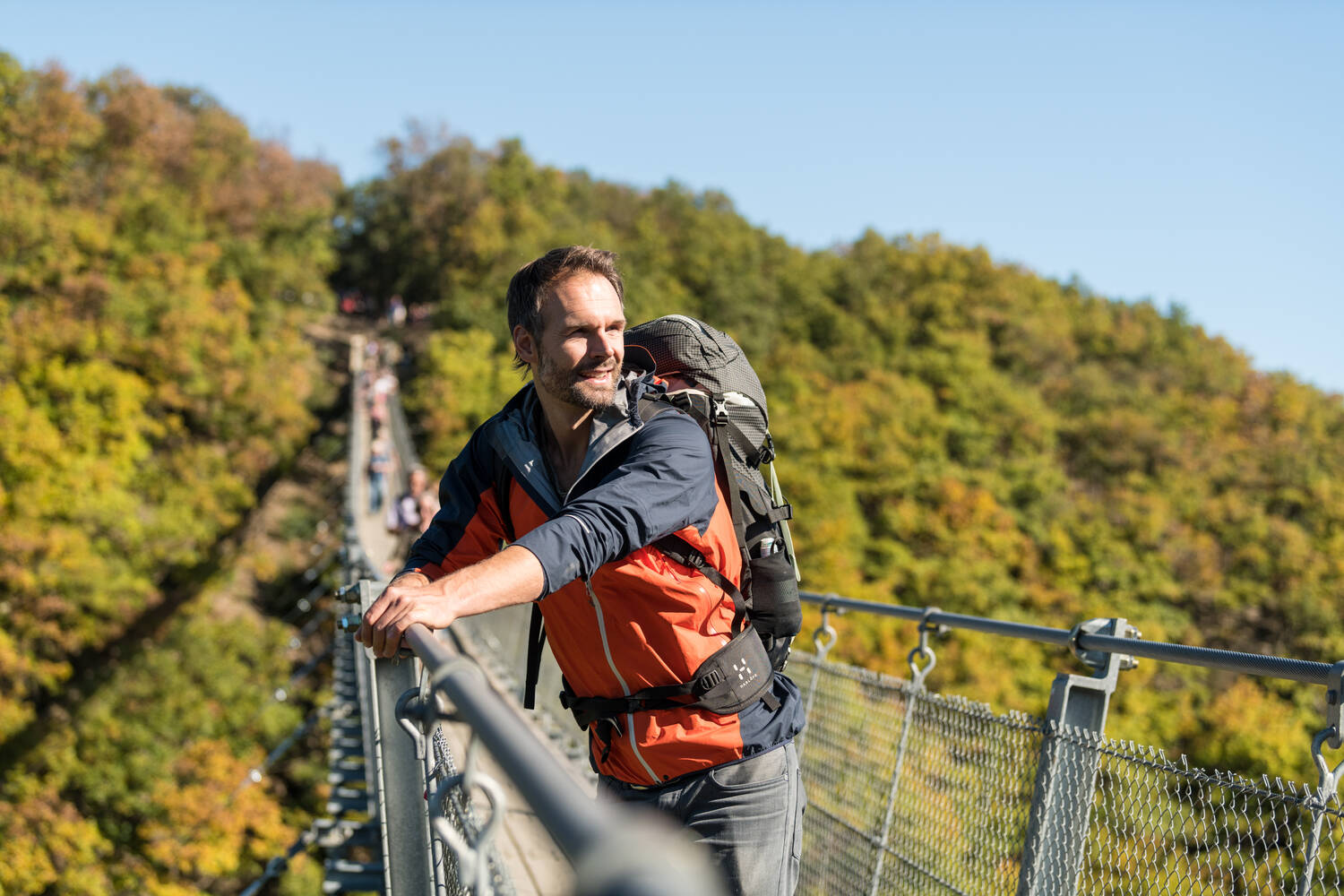
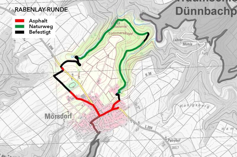
Several circular routes between 3 and 14 km in length run around the Geierlay Bridge – ideal for walks or day hikes. The starting and ending point is the visitor center in Mörsdorf.
The 6 km long Geierlay Loop is the most popular route. Those who want to avoid the bridge can return via a shortcut. In the Mörsdorfer Bachtal, a natural barefoot path invites exploration.
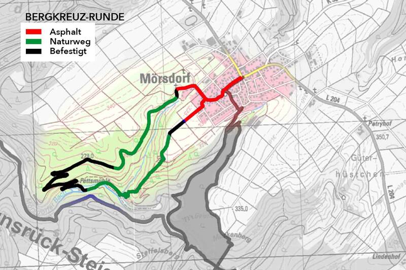
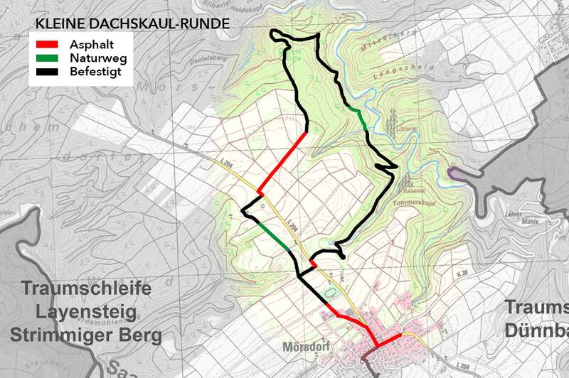
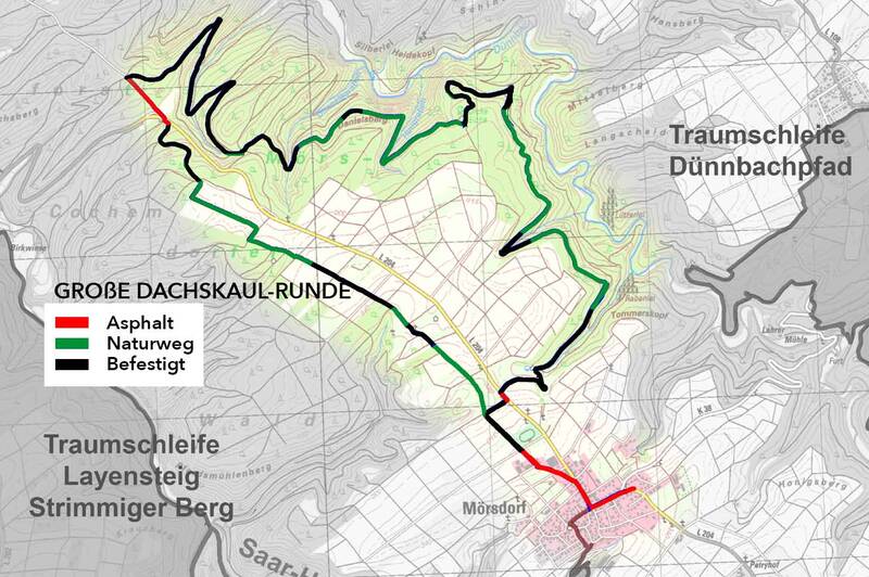
Other routes such as the Dachskaul Loop, Schieferhöhlenrunde, or the challenging Bergkreuz Loop offer variety for all demands.

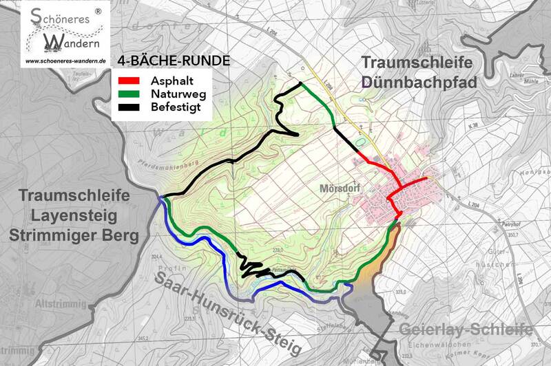

Dream Loops
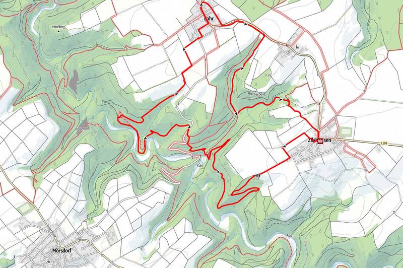
The visitor center Mörsdorf is an ideal starting point for the dream loops Masdascher Burgherrenweg and Dünnbach-Pfad – both are located very close by. The Dünnbach-Pfad can be reached via a 2 km long access path and leads as a 10 km circular route through the surroundings of Lahr and Zilshausen.
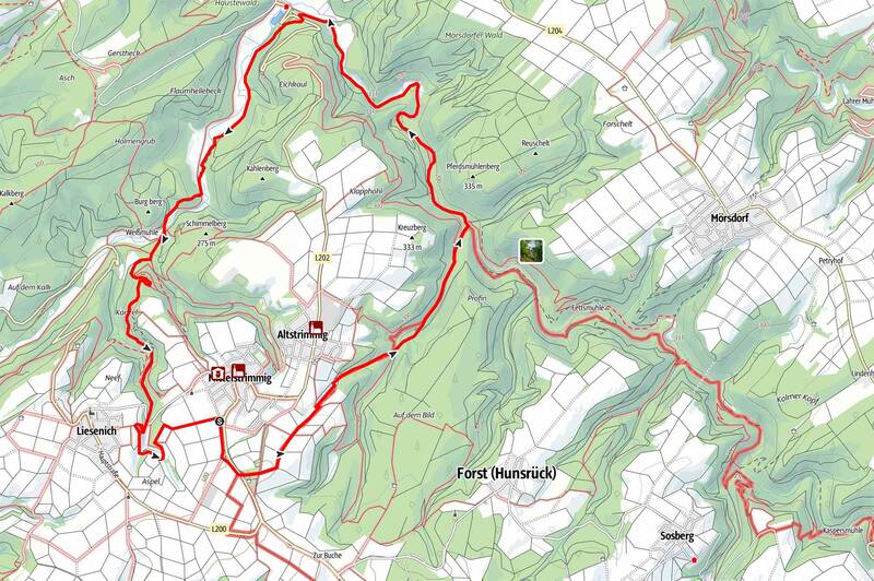
The approximately 14 km long Layensteig Strimmiger Berg can also be hiked from Mörsdorf: Via the Saar-Hunsrück-Steig, you reach the entry point at Altsrimmig after about 3.5 km.
Stages
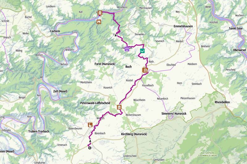
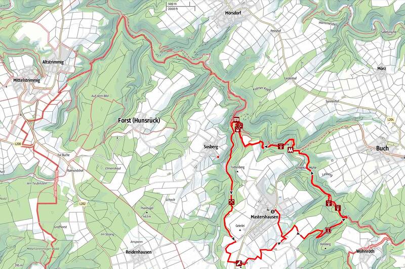
Mörsdorf is a stage destination of the Saar-Hunsrück Trail and is located on the 19th stage, which leads here from Blankenrath via Mittelstrimmig.
The trail runs directly under the Geierlay Bridge – and those who wish can quickly reach the spectacular suspension bridge via well-marked access paths.
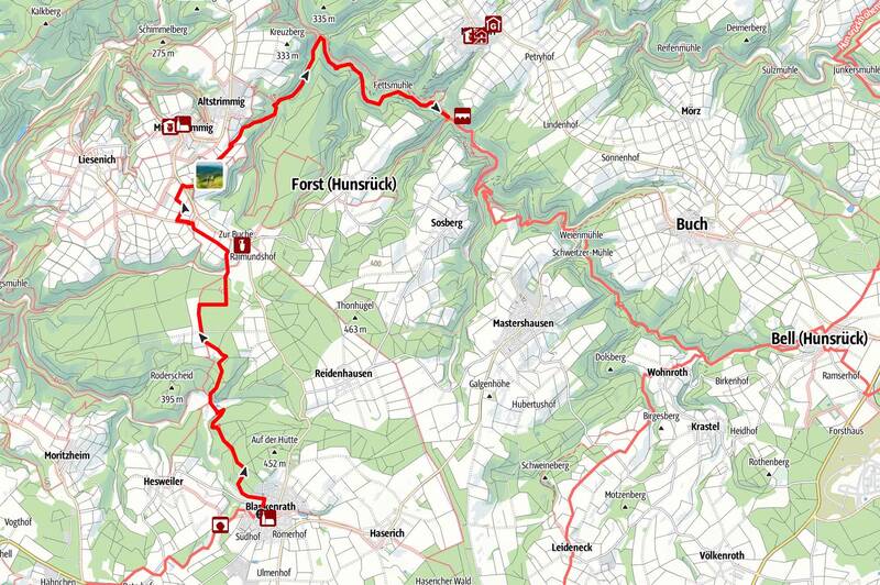
Stage 19 without Geierlay Crossing
Distance: 13.3 km
Difficulty: medium
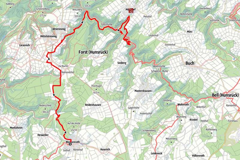
Stage 19 with Geierlay Crossing
Route: 17.1 km
Difficulty: medium

Stage 20
Route: 14.7 km
Difficulty: medium
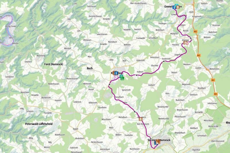
E-Bike Tours
Exploring the diverse nature around Mörsdorf by bike is ideal – through fields, forests, and over gentle hills. Perfect for active explorers and nature lovers!